On the Beam: How Pilots Once Steered by Sound Using A-N Ranges —and Why We Don’t Anymore

Before VORs, GPS, and glass panels, pilots navigated by listening. The low-frequency four-course radio range—commonly called the A-N range—was the backbone of instrument navigation in the United States from the late 1920s through the early 1950s. It was crude by today’s standards, yet remarkably effective at getting airplanes where they needed to go.

Each station transmitted two interlocking figure-eight patterns. One radiated the Morse code letter “A” (dot-dash); the other radiated “N” (dash-dot). Where the patterns overlapped, the signals merged into a continuous 1,020-hertz tone. That narrow equisignal zone—typically three to four degrees wide—defined the course, or “beam.” Off the beam, the pilot heard a clear A or N, telling him which way to turn to regain the steady tone. Station identification interrupted the signals twice a minute so the pilot could confirm he was listening to the correct range.

Pilots “flew the beam” by keeping that monotone in their headphones for hours. Approaching the station, the signal grew louder until the aircraft entered the cone of silence directly overhead, then the opposite beam appeared as they continued outbound. Complex orientation procedures existed for pilots who became lost in an A or N quadrant: a series of timed turns and signal-strength comparisons to identify which of the four legs they had intercepted and which way led to the station.

The system had serious limitations. Low-frequency signals suffered from static, especially during thunderstorms when guidance was likely needed most. Nighttime skywave interference and terrain reflections could bend or create false courses. Ambiguity was constant—pilots often knew they were on a beam but not which of the four. Continuous headphone listening was fatiguing, and the equipment offered no distance information beyond the cone of silence. Yet for all its shortcomings, the A-N range worked. Airways were built around the beams. Airmail and early airline schedules became reliable. Instrument approaches to moderate ceilings were flown using the same aural cues. Generations of pilots developed a practiced ear that could hold a course within a couple of miles at 100 miles from the station.

We are fortunate those days are behind us. Today, a pilot can load a direct-to, watch a moving map, and cross-check GPS against VOR or ILS with a glance. Precision, redundancy, and situational awareness are orders of magnitude better. Still, the A-N range deserves respect. It proved that disciplined listening and clear procedures could keep airplanes safe when the weather closed in. Modern tools make the job easier and safer, but they rest on foundations laid by pilots who once steered by the simple difference between a dash-dot and a continuous tone.

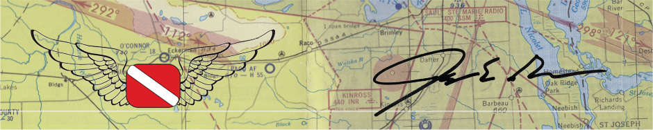
You can even see in this chart from 1963 around the Grand Rapids, MI area that courses were still on the charts back then!

Most of the pilots flying nowadays have never seen, or especially heard, an actual A-N range. And that got me curious, so I put together a little sample demonstrator program that you can play with to see what it might have sounded like for all of us fortunate enough to never have to navigate using them.

Check it out and be thankful for our modern tools. Heck, I would take an ADF over this every day! Oh, and yeah, a GPS too.

Be sure to drag the little airplane around the map to hear the different sounds you would get based on where you were in relation to the beam.

Click here to show this A-N Range simulation in its own page as a standalone.

CFI Duty Time Calculator: Stay Compliant with the Under 8-Hour in 24-Hours Regulation

Busy CFIs can sometimes have to do some careful math to stay under the FAA’s regulation regarding dual-flight instruction given in a 24-hour period regulation (14 CFR § 61.195 (a)).

Under the restrictions of this regulation, a CFI may not provide more than eight hours of flight training in any consecutive 24-hour period. This is a rolling window, not a calendar day. Ground instruction does not count; only flight training time does. Exceed the limit and you are in violation, regardless of how carefully you planned the day.

The practical challenge is real. A late-afternoon dual session yesterday, maybe a night flight, then an early morning lesson today can push you over eight hours without either day looking excessive on its own. Busy instructors juggling multiple students, weather delays, and checkride prep often lose track of the exact total. Manual tracking with a paper log or spreadsheet works until the schedule gets messy. That is where a simple, dedicated tool helps.

I created a free CFI Duty Time Calculator for exactly this purpose. It lets you enter the start and end times (or duration) of recent and planned flight training sessions (yesterday, today, and tomorrow for example) and calculates your total flight training time inside the current 24-hour window. You can see how many hours remain available before you hit the regulatory limit and whether a proposed additional lesson would put you over. Or if your planned flights for tomorrow based on what you will fly tomorrow will put you over the rolling hours total.

How to use it:

Enter the actual start and stop times for your flights in the relevant training periods that fall inside the rolling 24 hours looking backward from now (or from the end of a planned future session). Then Input the times of completed dual flights and any upcoming lessons you intend to give.

The calculator totals the flight training time and displays the result against the eight-hour ceiling. If you are approaching or exceeding the limit, you see when this will happen and can adjust, move, or reschedule a lesson. You might even have another instructor pick up a flight or you, or delay your flights to build in the required rest.

Instructors who regularly work long days or teach across multiple locations benefit the most. The calculator does not replace professional judgment or official logbook entries, but it gives a fast, reliable way to cross-check your planned or already done flight training events as a CFI before you accept one more lesson.

The tool takes only a minute or two and removes the mental arithmetic and the risk of an honest mistake.

Bookmark the page, use it whenever the schedule looks tight, and keep your flight training hours cleanly under the eight-hour mark.

Click here for a stand-a-lone page that is the calculator.


New Edition of the Airline Transport Pilot Oral Exam Guide Now Out!

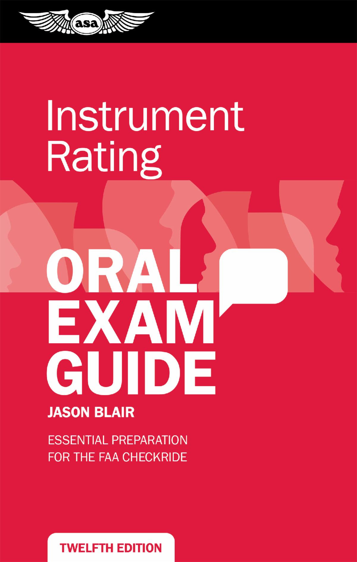
Aviation Supplies & Academics (ASA) has just released the seventh edition of the Airline Transport Pilot Oral Exam Guide, a book I had the opportunity to help with updating for the new edition. The latest updates align with the Airman Certification Standards (ACS), and contain new and expanded information focused on the operation of systems, safety, landing and takeoff performance, weight and balance, advancing technology in weather products, stall prevention, and updates to regulations.

Arranged in a question-and-answer format, this essential guide lists the questions most likely to be asked by examiners during the practical test and provides succinct, ready responses. This book prepares applicants for the FAA Airline Transport Pilot checkride and can also serve as a valuable refresher for experienced pilots and instructors. FAA references are provided throughout for further study.

If you happen to be studying for your ATP practical test, I am hopeful that you will find this book helpful in the process!

You can get it directly from ASA by clicking here.

or from Amazon by clicking here.

FU and your Checkride or Training Flight

If you’re a student pilot, instructor, or anyone with a checkride or training flight on the calendar this week in the Upper Midwest, you’ve probably already glanced at the METAR, looked out the window, and muttered something colorful. The sky has that milky, yellow-orange haze. The sun looks like it’s shining through a dirty ashtray. Everything smells like a forest fire that decided to visit. And right there in the weather report—FU.

No, the weather gods aren’t literally typing profanity at you. In the international language of METARs, FU is the code for smoke. It comes from the French fumée. When smoke is reducing visibility to six statute miles or less (and sometimes when it’s just hanging around being a pain in the ass), the METAR sticks FU in the weather phenomena section or remarks. You’ll see it alongside HZ for haze when the air gets thick with fine particulates from wildfires.

Right now—mid-July 2026—that smoke is pouring south out of western Ontario and northern Minnesota fires. Dozens of blazes, some massive, some out of control, are feeding a plume that has turned large parts of Michigan, Minnesota, Wisconsin, and points east into a hazy mess. Air quality alerts cover at least 17 states. Michigan and parts of Minnesota have seen hazardous to very unhealthy AQI readings—some spots pushing well over 300 and even spiking past 1,000 in northern Minnesota. Detroit has been among the worst major cities in the world for air quality on some of these days. The smoke isn’t just a local annoyance; it’s a widespread, lingering layer that the high pressure and northwest flow have been parking over the Great Lakes region.

And it’s doing exactly what the abbreviation suggests to a lot of training programs and checkride schedules: F-ing Up the plan.

Why FU actually matters in the cockpit

Surface visibility in a METAR is measured horizontally at the airport. That’s useful, but it doesn’t tell the whole story when smoke is involved. Slant-range visibility—the view you actually need to see traffic, spot the runway on final, or maintain visual references in the pattern—is often worse. Smoke scatters light differently than fog or mist. It can sit in layers, get trapped under inversions, and turn what looks like “6SM HZ/FU” on the ground into something that feels like flying through thin soup at pattern altitude.

For VFR training and checkrides, this creates real problems:

  • Traffic spotting becomes a guessing game. In the practice area or on a cross-country, you’re relying on see-and-avoid. Hazy smoke kills contrast. That Cessna you should have seen at three miles is now a gray ghost until it’s uncomfortably close.
  • Pattern and landing work suffers. Judging height, flare, and touchdown in reduced visibility and flat light is harder. Depth perception goes to hell when the horizon is washed out and the runway environment lacks crisp definition.
  • Student pilot and solo limitations get tested. Many CFIs and 61.87 endorsements have personal minimums well above legal VFR (3SM visibility, 2,000-foot ceiling). Smoke that keeps the airport reporting 5–7SM but feels worse often triggers a smart “no-go.”
  • VFR maneuvers without a horizon. Steep turns, chandelles, lazy-8’s, pretty much any visual maneuvers get really hard to do the right way, looking outside when the visibility is reduced due to smoke. Without at least 8-10 miles visibility, and certainly when visibiity dips below 5 miles, these maneuvers get much harder to do within ACS standards.
  • Checkride/Flight scheduling chaos. As a DPE, I’ve lost count of how many rides I’ve had to delay or move because the weather wasn’t just legal—it wasn’t smart. Examiners are supposed to evaluate judgment as much as stick-and-rudder skills. Launching into marginal smoke just to “get it done” is the opposite of good judgment. I know lots of CFIs are working on reschedules with their students this week also. Rescheduling sucks for everyone, but bending minimums or personal comfort levels sucks more.

IFR pilots and aircraft aren’t completely immune either. Smoke can extend to surprisingly high altitudes, create its own turbulence or pyrocumulus if fires are active enough, and just generally make an already busy IFR day more tiring. Plus, nobody wants to breathe that crap for hours on end. I honestly have no idea how bad it is for the aircraft either, which needs air to breathe as part of the combustion process that keeps our engines going. Does anyone have any thoughts on that? Share it here please, if you do.

The current Upper Midwest reality check

This isn’t some distant western fire season problem that only affects California or Idaho. The fires in Ontario (one of the big ones over 130,000 acres) and northern Minnesota are close enough that the smoke is dropping right on top of us with minimal dilution. On bad days you can smell it even inside hangars. The sky takes on that apocalyptic glow that makes sunset photos look dramatic but makes actual flying feel stupid.

Air quality agencies are telling people with respiratory issues to stay inside. Pilots should be paying attention too. Fine particulate matter (PM2.5) doesn’t just stay outside the airplane. And while a single training flight in light smoke probably won’t kill you, repeated exposure or pushing into visibly deteriorating conditions isn’t the kind of risk that builds good habits.

TAFs and METARs around the region have been showing FU, HZ, or just plain reduced visibility in spots. Some airports stay VFR on paper while the practical flying conditions are marginal at best. That disconnect is exactly why you have to look at more than just the visibility number—satellite smoke maps, AirNow, pilot reports, and your own eyeballs out the window all matter.

So what do you do when the sky says FU?

First, don’t treat it like a personal insult. The weather doesn’t care about your checkride date or your student’s 90-day solo clock. It cares about physics and fire behavior. Plan for it.

  • Pull the smoke forecasts and satellite imagery early. These events can linger or shift with the next front.
  • Have honest personal minimums and be willing to use them. “Legal VFR” and “smart VFR in smoke” are not the same thing.
  • Use the downtime productively—ground lessons, simulator sessions, systems review, or even just a frank talk with your CFI or examiner about decision-making in degraded visibility.
  • If you’re the instructor or DPE, model the behavior you want to see. Canceling or delaying because conditions suck isn’t weakness; it’s professionalism.

And yeah, sometimes you just have to laugh at the cosmic joke. The abbreviation really does feel like the sky is giving you the finger this week. Mother Nature has a dark sense of humor, and right now she’s using Canadian wildfires to deliver it straight to the Upper Midwest.

The good news? These smoke events move. Fronts come through, winds shift, and eventually the air clears. Your checkride or training block will happen—just when the smoke clears.

Hopefully, the FU will clear soon, and we will all be back to some good flying. Certainly, hopefully before next week for Oshkosh EAA AirVenture 2026!